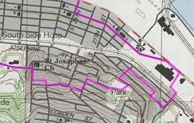
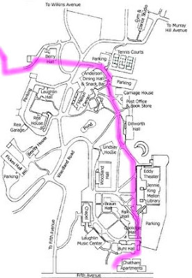
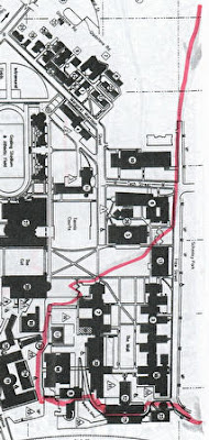
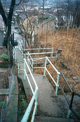
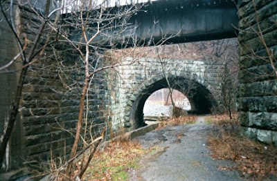
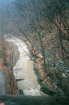
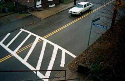
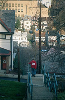
Circular 50 mile itinerary within the city exploiting its rich natural geography, urban setting, and the architectural features for pedestrians such as steps, overpasses, walkways that were built to overcome natural obstacles like steep hills, ravines, rivers, and man-made obstacles like eight-lane highways and railroad tracks.
Walking in Pittsburgh, and collecting some thoughts in the post-industrial bucolic scenery. email (remove the dashes and other punctuation) p-itts.burgh*Trail@gmail.com